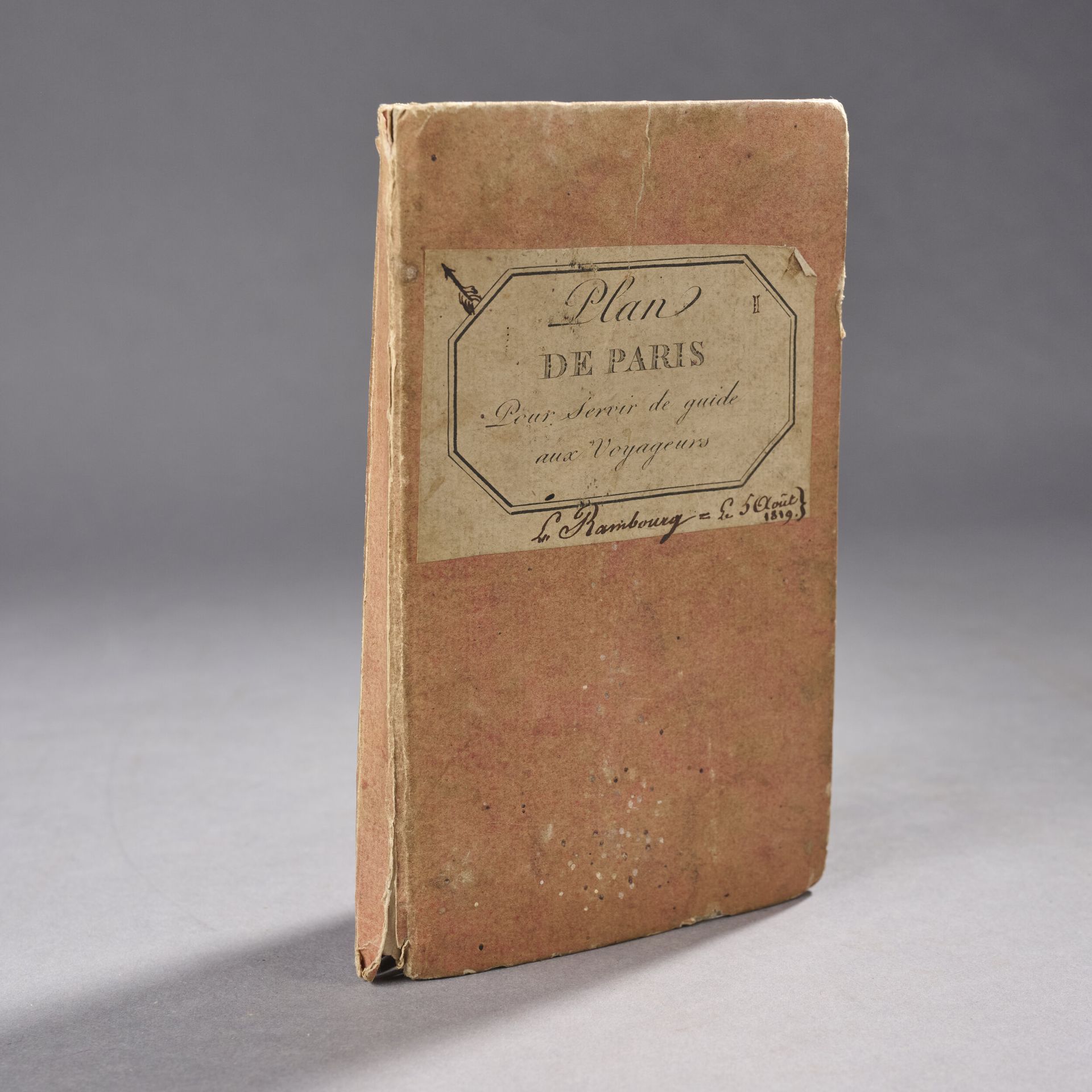
MARTIN (Amédée). Road map of the city of Paris and its suburbs. Paris, Esnault, 1819. Large fold-out plan of the city of Paris with street table, colored highlights. Vintage protective boards, label "Plan de Paris pour servir de guide aux voyageurs" and handwritten "L. Rambourg. August 5, 1819". Dimensions: 55 x 78.5 cm (small tear restored with adhesive tape, small wormholes, wear to cardboard) Expert : Mr. Nicolas Asvisio
Estimate
€80 - €120
Result
€160
Buyer's premium
27%
MARTIN (Amédée). Road map of the city of Paris and its suburbs. Paris, Esnault, 1819.
Large fold-out plan of the city of Paris with street table, colored highlights.
Vintage protective boards, label "Plan de Paris pour servir de guide aux voyageurs" and handwritten "L. Rambourg. August 5, 1819".
Dimensions: 55 x 78.5 cm
(small tear restored with adhesive tape, small wormholes, wear to cardboard)
Expert : Mr. Nicolas Asvisio
Sale
Thursday 17 April 2025・14:00 (Europe/Paris)
Sale location coming soon
1 ter, boulevard de la République
92210 Saint-Cloud