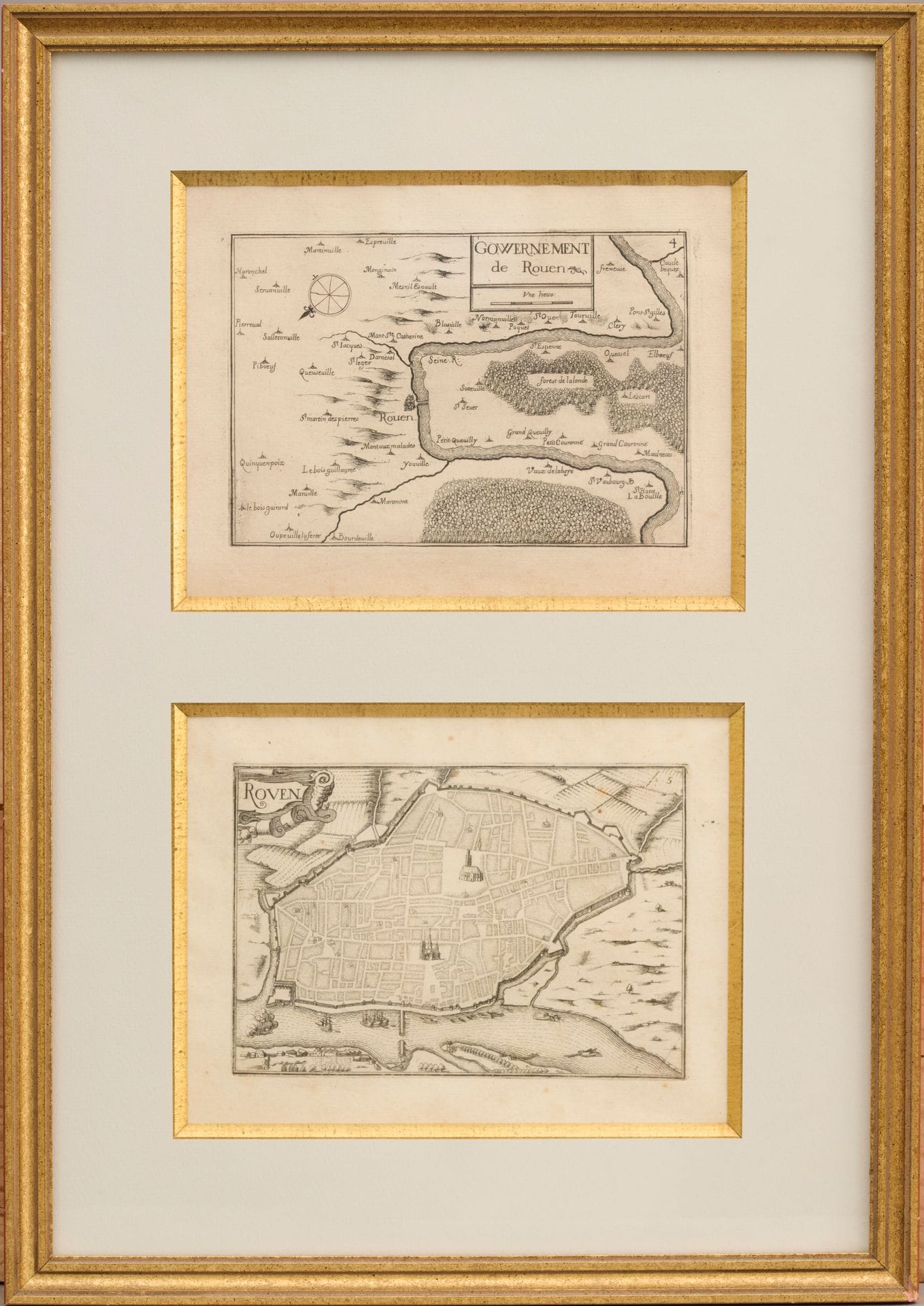
Two government maps of Rouen. Engravings framed in the same frame (foxing, curled paper and folds), from "Les plans et profilz de toutes les principaules villes et lieux attentionnés de France", first published in 1631 by Nicolas Tassin, geographer to the king. 17th century. Dim. at sight of each map : Height. 13 cm - Width 18 cm
Estimate
€50 - €100
Result
Not communicated
Buyer's premium
27%
Two government maps of Rouen.
Engravings framed in the same frame (foxing, curled paper and folds), from "Les plans et profilz de toutes les principaules villes et lieux attentionnés de France", first published in 1631 by Nicolas Tassin, geographer to the king.
17th century.
Dim. at sight of each map : Height. 13 cm - Width 18 cm
Sale
Thursday 11 July 2024・09:30 (Europe/Paris)
Sale location coming soon
1 ter, boulevard de la République
92210 Saint-Cloud